 Image 1 of 5
 Image 2 of 5
 Image 3 of 5
 Image 4 of 5
 Image 5 of 5
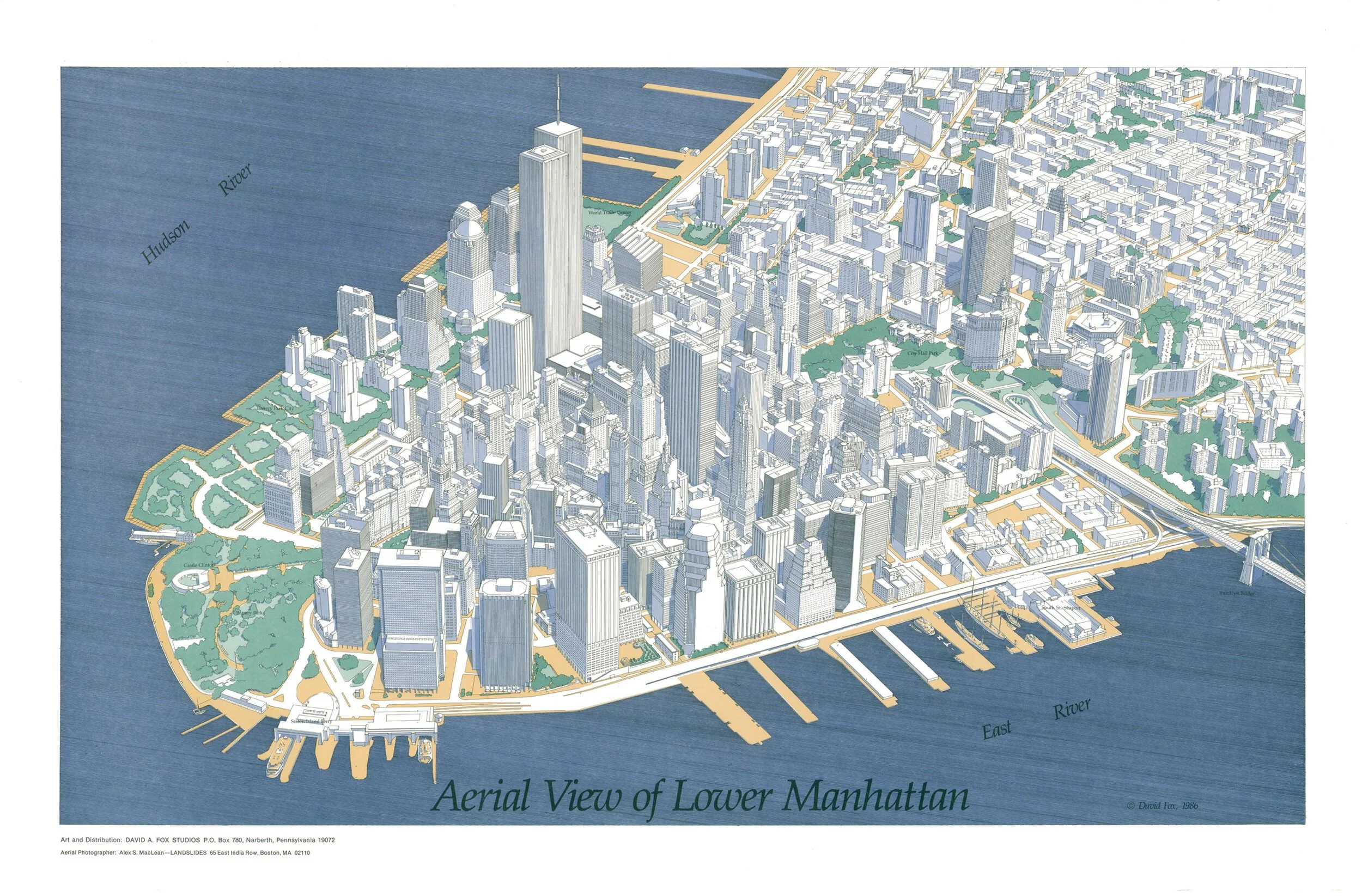
Three-dimensional hand-drawn aerial view of New York City’s Lower Manhattan from pre-September 11th (9/11) with the original World Trade Center towers. These maps are limited First Edition prints from 1986. Dimensions: 25” x 38.” ( Free shipping).
Three-dimensional hand-drawn aerial view of New York City’s Lower Manhattan from pre-September 11th (9/11) with the original World Trade Center towers. These maps are limited First Edition prints from 1986. Dimensions: 25” x 38.” ( Free shipping).