 Image 1 of 5
 Image 2 of 5
 Image 3 of 5
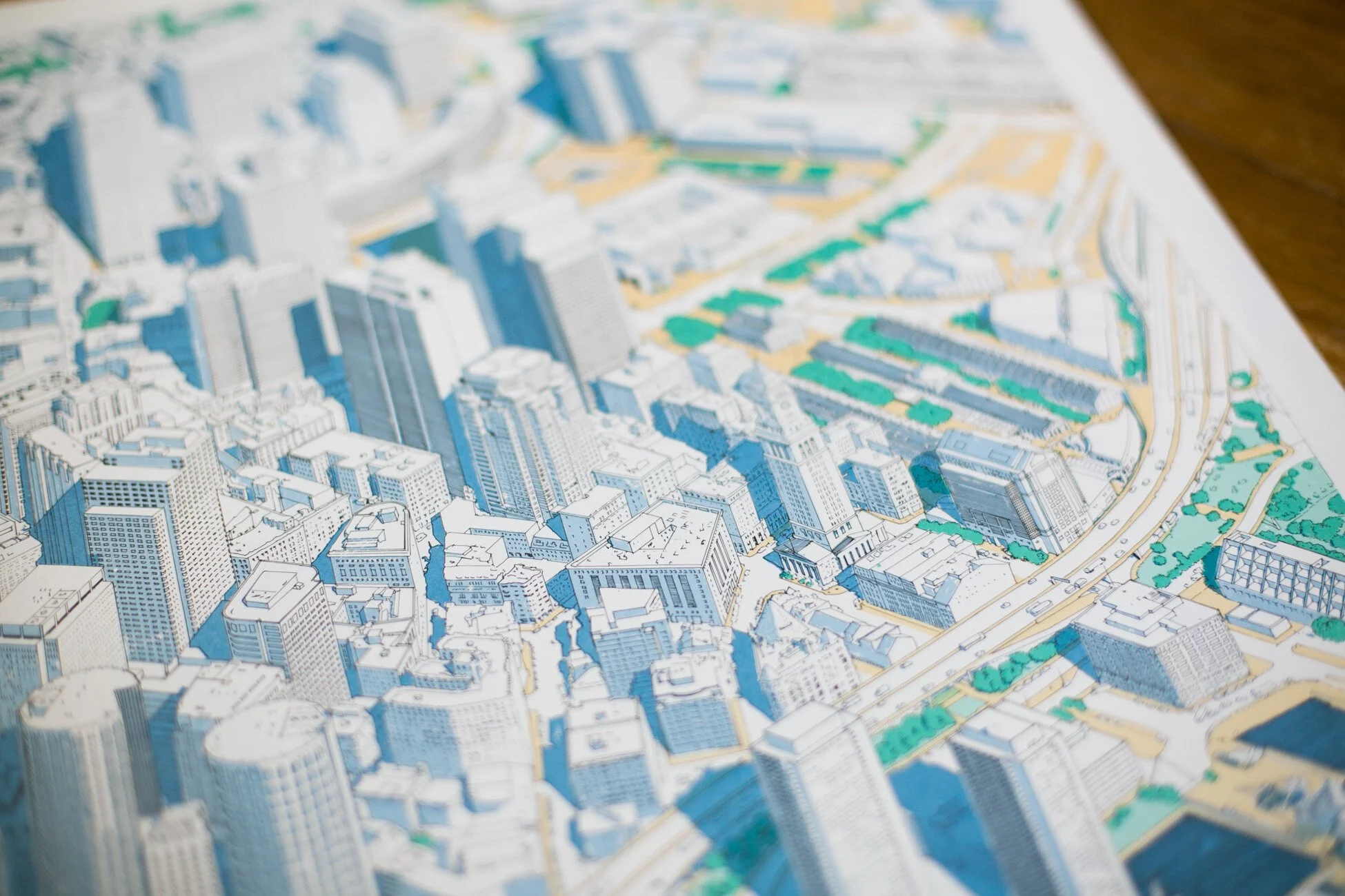 Image 4 of 5
 Image 5 of 5
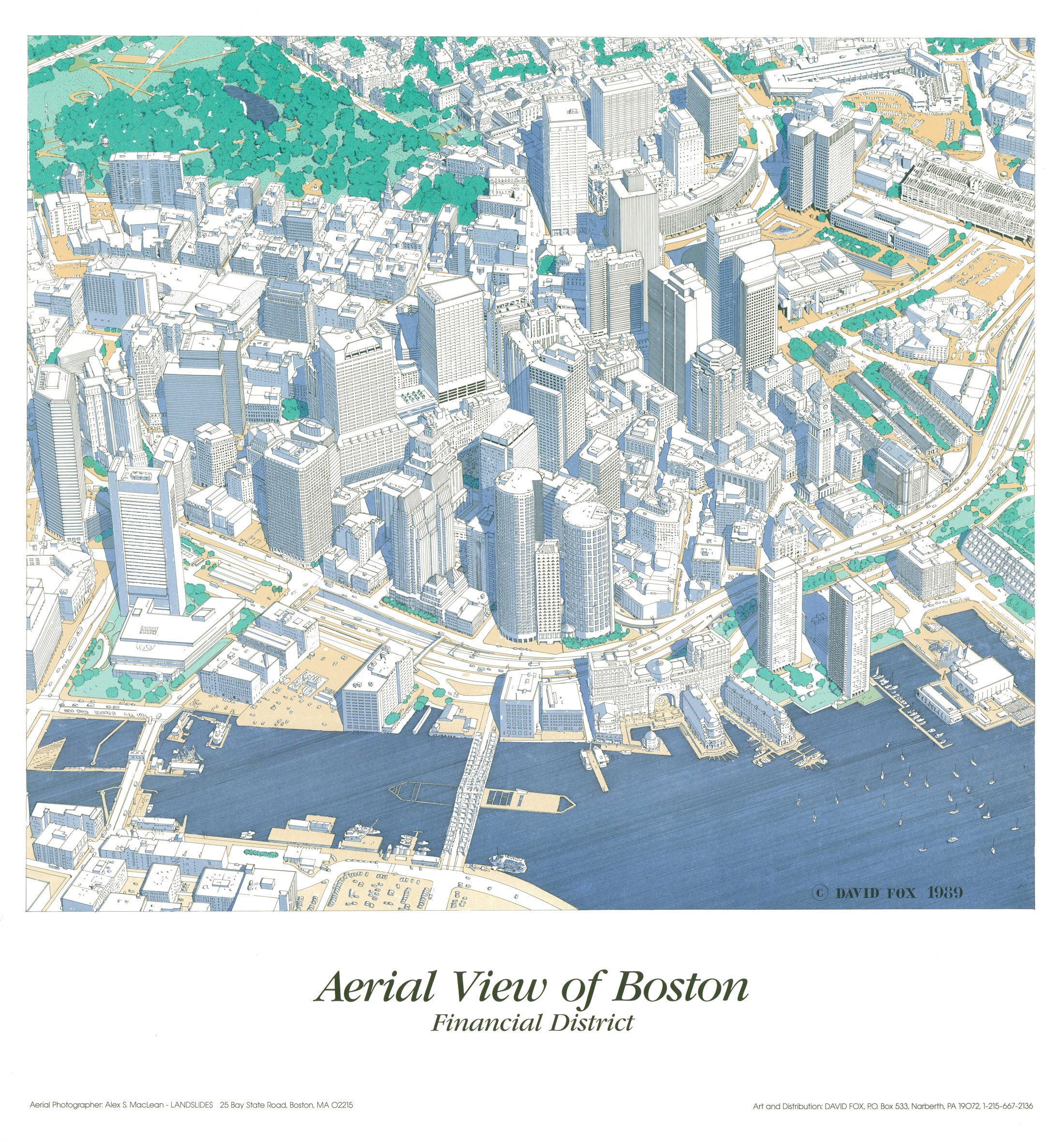
Three-dimensional hand-drawn aerial view of Boston central business district, before “The Big Dig”. These axonometric maps are limited First Edition prints from 1989. Dimensions: 25” x 38.” ( Free shipping).
Three-dimensional hand-drawn aerial view of Boston central business district, before “The Big Dig”. These axonometric maps are limited First Edition prints from 1989. Dimensions: 25” x 38.” ( Free shipping).